Imagery Types
The following imagery types are available in Hub.
Vantor's 125+ petabyte
Browse-level imagery streams at low resolution.
Vantor's most basic and raw product. This imagery type is ideal for image manipulation and photogrammetric analysis by image processing systems.
This basic processing level offers an imagery product for scientific analysis that is radiometrically and sensor-corrected.
An example of 1B imagery.
Vantor's best product for image viewing and feature analysis in geographic information systems.
This imagery product is for visualization and graphic design. It is terrain-adjusted for visual consistency.
View-ready imagery is processed to ensure that it is accurate, consistent, and can be compared to other images or datasets that use the same reference point. Additionally, this imagery type is projected and resampled, and has a coarse digital elevation model (DEM) applied.
An example of 2A imagery.
Vantor's most popular product. This imagery type has been processed to ensure that it is accurate, consistent, and comparable to other images or datasets that use the same reference point. This imagery is ready for ortho-rectification. It is radiometrically, sensor-, and geometrically corrected.
This imagery type is projected to average base elevation and resampled. It is ideal for image manipulation and photogrammetric analysis by image processing systems, as well as image viewing and feature analysis in geographic information systems.

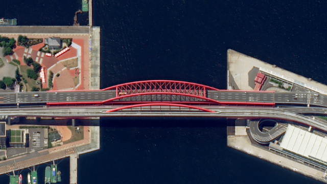
An example of OR2A imagery.
High-quality, standardized imagery that has been orthorectified (i.e., corrected to remove distortion caused by terrain variations, and sensor angle), radiometrically calibrated, and georectified to produce a highly accurate imagery product ready for seamless integration into workflows. Optimized resampling, color balancing, and mosaicking does not apply. Pansharpening is also an option.
Map-ready imagery is ideal for image viewing and locational referencing. It is also designed for mapping and digitization, and ortho-rectified for best geolocational accuracy.
This imagery type provides a high degree of cartographic accuracy.
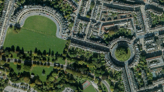
An example of map-ready imagery.
Archive stereo pairs are two images taken by the same satellite, approximately 45–90 seconds apart. Stereo imagery products are designed for users with advanced image processing capabilities and photogrammetric tools. This product is ideal for Digital Elevation Model (DEM) generation, 3D visualization and feature extraction applications. Stereo images are collected in-track, meaning on the same orbit, and are acquired at angles optimal for stereo viewing and manipulation. View the stereo pair's minimum and maximum convergence angles in the images' metadata.
In both card and list view, a blue bar identifies archive stereo pairs.
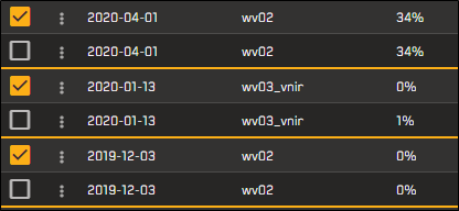
Three archive stereo pairs, shown in list view.
This is the most current imagery delivered by the Vantor constellation and hosted by Hub. Hub typically adds 800–1,000 new image strips—equaling 1–1.5 million sq km in coverage—each day to its online imagery library.

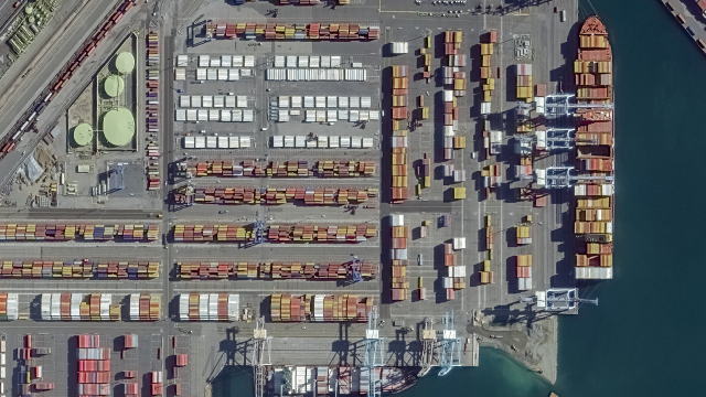
An example of online imagery.
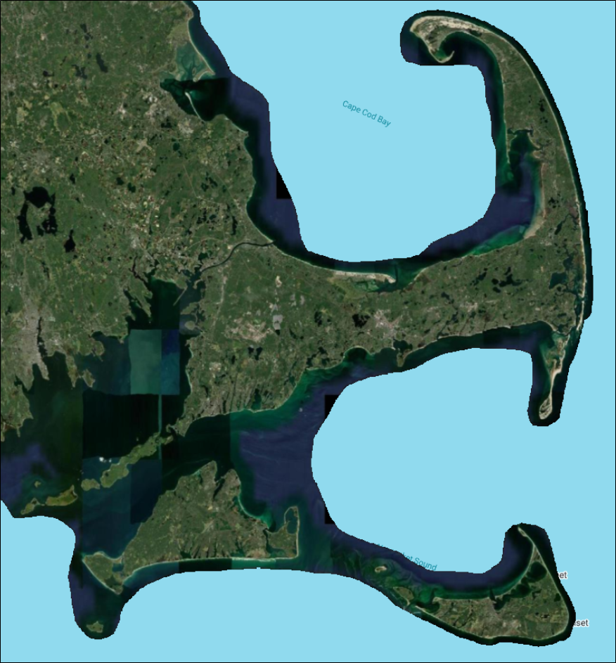
When you log in to Hub, prior to changing any sorting or filtering settings, online imagery loads as a lower-resolution mashup. You can use this default load to quickly pan and zoom in the viewport. This mashup is visible at zoom level 11 and higher.
Vivid Mosaics is a suite of high-resolution, high-accuracy imagery basemap products, available off the shelf. From metro to global scale, Vivid Mosaics offer solutions to meet a range of customer needs and budgets.
Providing a high-quality, visually consistent view of Earth, Vantor’s Vivid Mosaic products are ideal imagery basemaps for map-contextual layers, visualizations, and extracting features at scale. With coverage over the majority of the global landmass
In Hub, you can view Vivid Mosaic imagery using Vivid Mosaic basemap products. See Vivid Mosaic Products.
An example of a Vivid Mosaics basemap.