Changing Map Heading
You can use the map
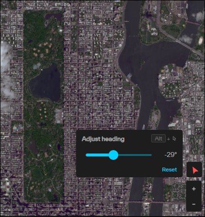
By default, an image of Central Park in New York City shows the park on an angle. By setting the map heading to
Do any of the following:
-
Display the Map Heading Select Map Heading
 . The Adjust Heading dialog opens.
 -
Hide the Map Heading Select Map Heading
again. -
Rotate the Viewport In the Adjust Heading dialog, click and drag the slider. The value to the right of the slider indicates the angle of rotation.
The following images show examples of the map
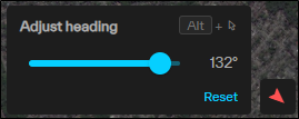
Adjusted 132° |
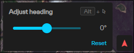
Adjusted 0°, Oriented North |
The Map Heading button has different appearances based on different rotation situations.

|
Viewport rotated |
|
|
Viewport oriented North |